






The Ministry of Housing, through the Central Housing and Planning Authority (CH&PA), will introduce a new digital system from November 2, 2026, to improve the accuracy of house lot identification and prevent allottees from mistakenly building on land allocated to others.
The geo-referencing system will be implemented across all regions, providing a digital record of each lot identification exercise while strengthening transparency and accountability.

Minister of Housing, Collin Croal, announced the initiative during site visit to Bartica, Region Seven on Friday.
He explained that the measure follows concerns about persons constructing homes on incorrect lots.
“We are going to be introducing from the first of November, well the first of November is Sunday so the first working day in November, we will be introducing what is called geo-referencing for the showing of lots,” Minister Croal explained.
The new system also forms part of the government’s wider digital transformation agenda, led by President Dr Mohamed Irfaan Ali, to improve efficiency and service delivery.
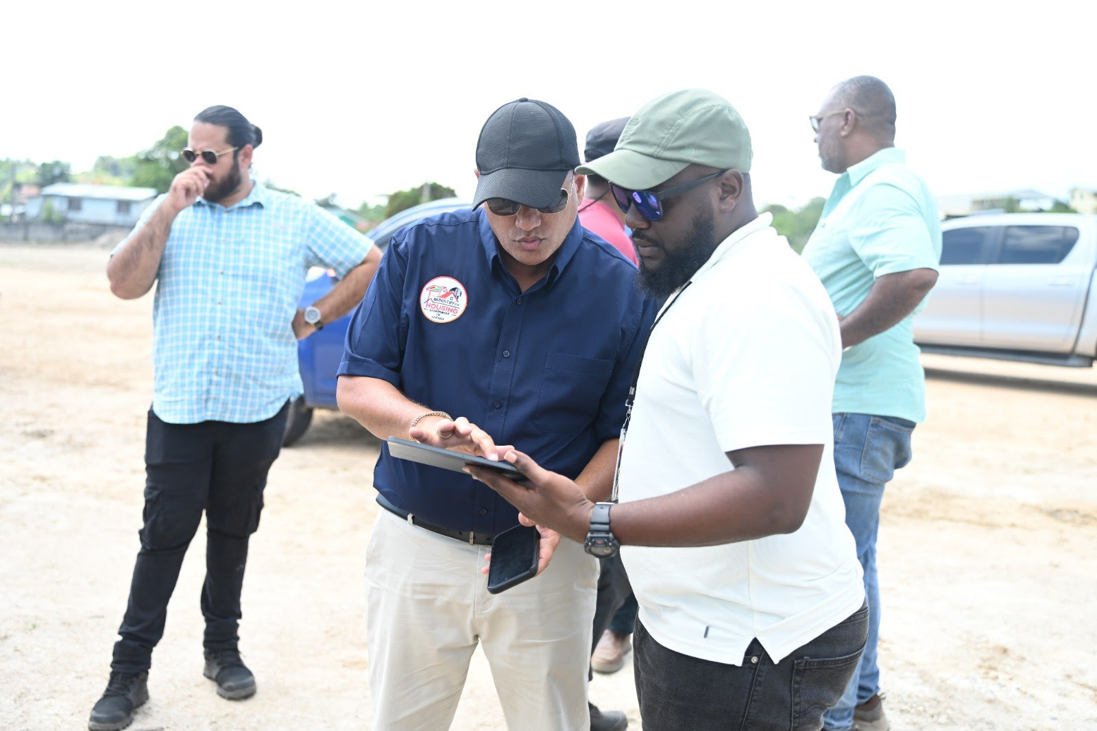
CH&PA surveyors will use tablets to electronically record the precise coordinates of each house lot, along with photographic evidence confirming that beneficiaries were physically shown their allocated lands.

Allottees will also be required to digitally sign an acknowledgement confirming that they have been shown their respective lots.
He said the information will be stored in the agency’s digital registry, allowing officials to accurately identify the location of each lot and resolve potential disputes.
Beneficiaries will also be able to obtain copies of their lot coordinates for future reference.
“This is being introduced to safeguard the allottee as well as the agency,” the minister stated.
Minister Croal stressed that beneficiaries must ensure CH&PA surveyors identify all four boundary markers, commonly known as paals, before accepting their lots.
He explained that some allottees have encountered difficulties locating their boundaries when they are ready to begin construction, particularly where significant time has passed since the initial identification exercise.
“We are insisting that the surveyor show you all four of the paals and in addition to that, we will have the picture taken that you are seeing your lot, that is uploaded and you’re signing on to our tablet that you have seen your lot,” he said.
Minister Croal said the digital system will eliminate uncertainty surrounding whether beneficiaries were officially shown their allocated lands.
Testing of the technology is already underway and thus, the system will be fully implemented from November 2 and will also be used during upcoming lot identification exercises at the Bartica Extension South housing development.